Topographic & bathymetric surveys
Geosyntech performs plano-altimetric and celerimetric topographic surveys, profiles, leveling and precision tracking using traditional instrumentation, such as the integrated total station, the self-leveling, the piano-parallel sheet, the prisms and the Invar staff, but also using G.P.S. dual frequency, by radio-controlled quadcopter drone for photogrammetric survey with calibrated camera and creation of a 3D digital model of the terrain and orthophotocap, with terrestrial or airborne Laser Scanner systems, for the creation of three-dimensional models through the registration of single or multiple scans using a laser pulse.
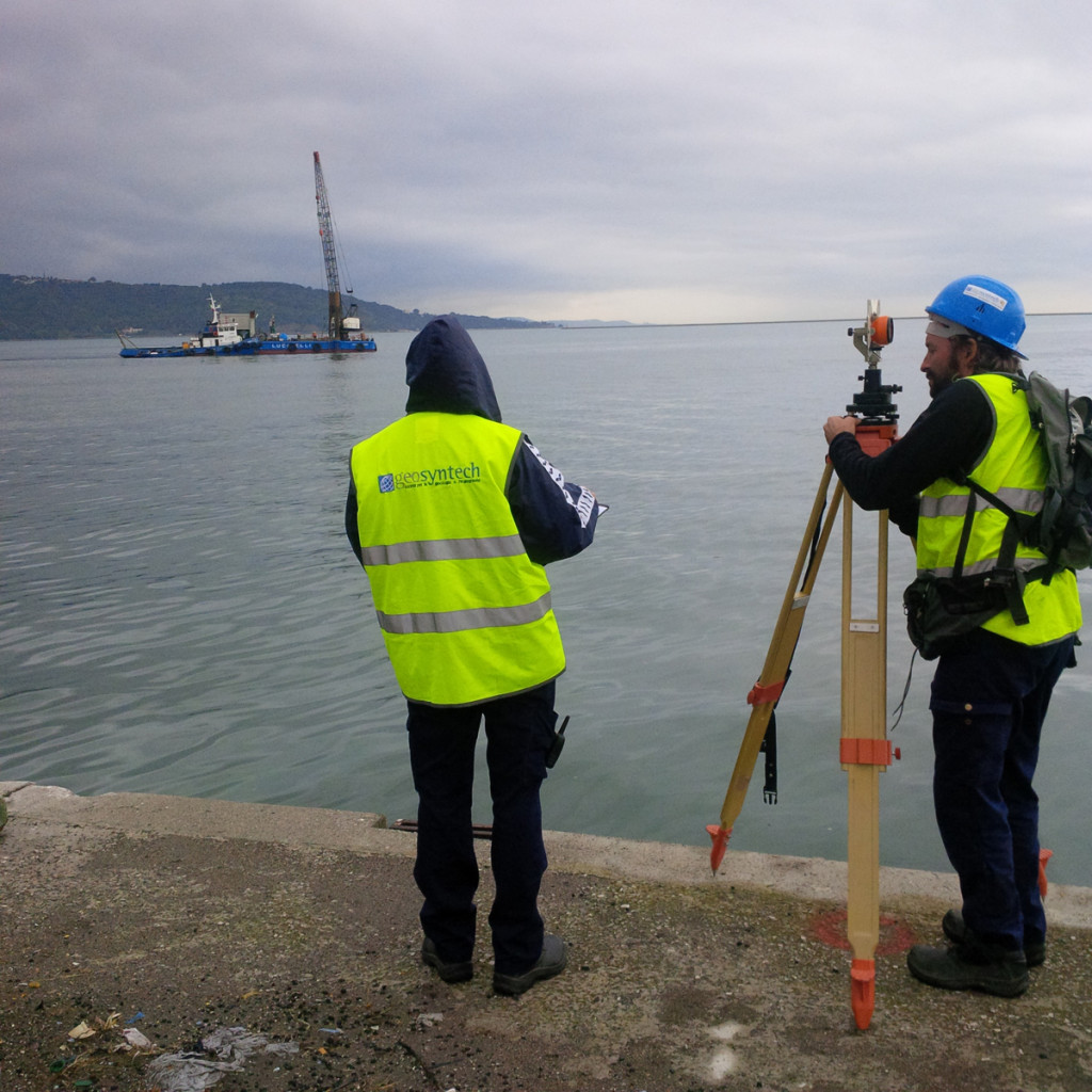


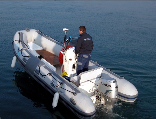


We create geodetic control and monitoring networks of the territory, of structures, infrastructures and artifacts, with the materialization of absolute cornerstones. Our Company performs bathymetric surveys using Siglebeam and Multibeam systems, also for archaeological purposes, to define the bathymetric and morphological structure of the seabed and to identify any anomalies present on the seabed, as well as surveys with the Side Scan Sonar (SSS) system, to obtain an accurate plan view of the morphology of the seabed, including the size and shape of any objects, reflection seismic geophysical surveys using Sub-Bottom Profiler (SBP) for the recognition of the geological structure and sediments that characterize the seabed, Magnetometric surveys at sea with measurement of the earth’s magnetic field and for the identification of any variations and anomalies.
Find out about other span
services that may interest you


Contact us for information and quotes
We are at your disposal